 WhatRoute Help
 WhatRoute Help
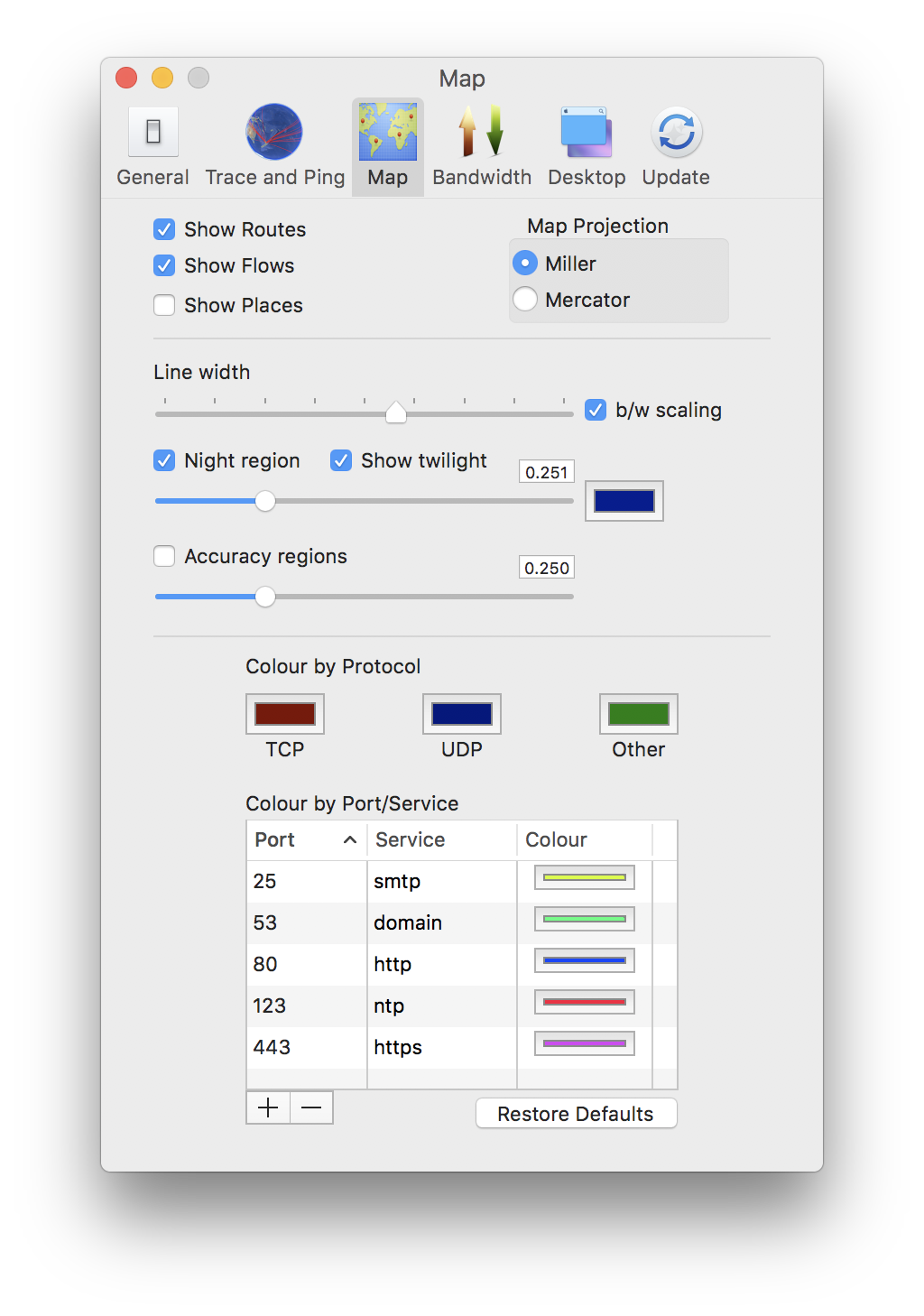
Show Routes/Flows
Checking/unchecking these options can reduce clutter in the display.
Show Places
The map is sectioned into regions, 5 degrees on each side. Those regions
containing at least 1 known place are displayed in a very light red
colour.
Map Projection
You may choose to display the world map in either a Mercator
projection or in a Miller
Cylindrical projection.
Line width
Set the default width of each trajectory drawn on the map.
Night region
When checked the night time region of the planet is displayed on the
map.
b/w scaling
When checked, trajectories carrying heavier traffic will be drawn with a
thicker line.
Accuracy regions
Display the ‘circle of uncertainty’ at each location.
Colour by Protocol
Click the swatches to adjust the colours to your preferred choices.
Colour by Port/Service
Use these colours in place of the default (protocol) colours for the
services specified. You can add/delete entries to/from this table by
clicking the + and - buttons at the bottom of the table.